- Location: Ireland, Northern Ireland
- Institution: Queen's University Belfast, Trinity College Dublin, Ulster University, University College Dublin
- Status: Active
- Type: Independent
- Theme: Monitoring
- Timeframe: 2024 - 2029
Share on social
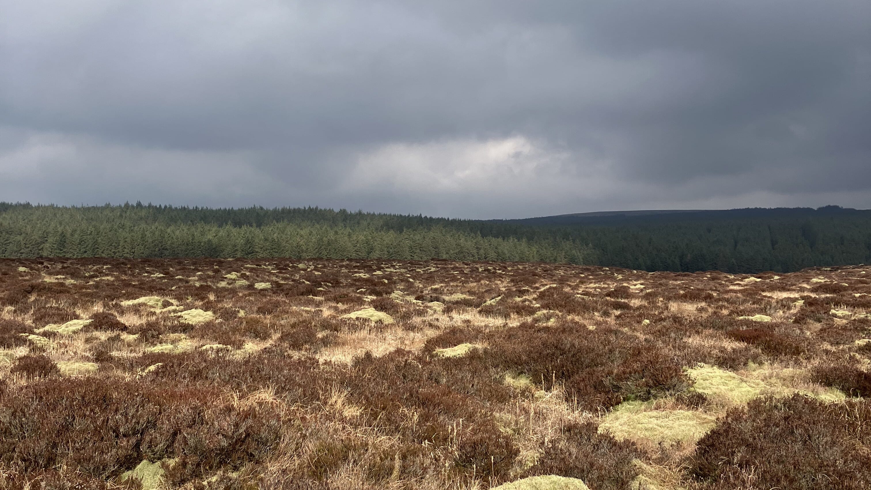
Upland areas in Ireland and Northern Ireland are important because they store carbon in peatlands and woodlands, supply clean water, and serve as places of outstanding natural beauty. However, these benefits are at risk from ongoing damage. Monitoring these areas is difficult because they are large and often hard to reach.
This project develops new ways to monitor and report on the health of upland habitats. It combines data from drones, airplanes, and satellites with measurements taken directly in the environment, such as water flow, weather, and river data. By linking these sources, we track how habitats improve as restoration work continues.
The methods we develop provide clear and reliable information about upland habitats at local, regional, and national levels. This supports better decisions to protect and restore these important areas for people, wildlife, and the climate.
Project Goals
-
Create a joined-up way to monitor ecosystems and river catchments by combining information from satellites, drones, and measurements taken on the ground
-
Identify the best ways to restore and protect ecosystems that are most at risk from climate change.
-
Deliver new ecosystem service assessment protocols.
-
Map habitats to show where they are and what condition they are in, creating a clear starting point for tracking change over time.
-
Build monitoring systems that can be used across large areas and are detailed enough to spot different habitat types and meaningful changes in their condition and size.


Institutions