- Location: Ireland, Northern Ireland
- Institution: Queen's University Belfast, Trinity College Dublin, University of Limerick
- Status: Active
- Type: Research
- Theme: Monitoring
- Timeframe: 2024 - 2029
Share on social
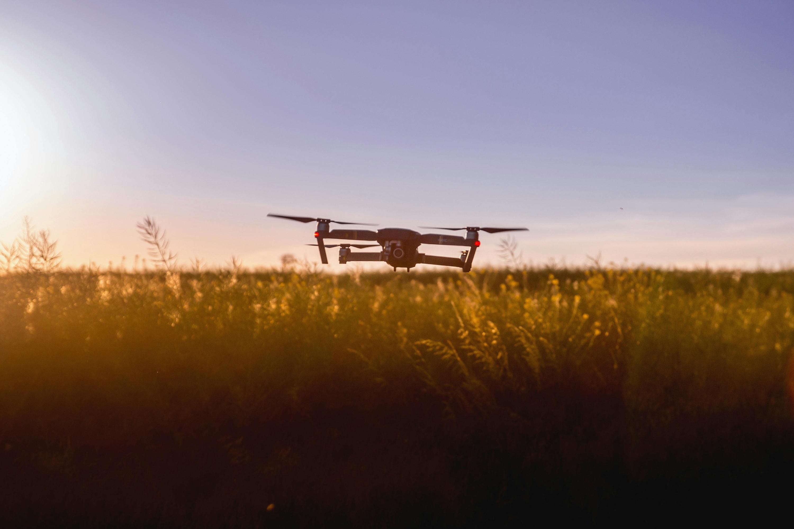
Many sources of remote sensing and satellite data are available to monitor the environment and track land use. These measurements can help us understand impacts on natural areas such as peatlands. Technologies like airborne LiDAR and drones are also helping to support traditional in-situ measurements, which involve collecting data directly from the environment.
However, these monitoring tools alone are not enough because they cannot fully capture changes in land use, biodiversity, or the effects of extreme weather on fragile ecosystems. To address this, the project aims to develop new ways to analyse these data and build better models that combine ground information with high-resolution satellite images.
Furthermore, it integrates these new data types with existing long-term monitoring information. By doing so, the project can produce strong, evidence-based research that supports better decision-making for environmental management.
Project Goals
-
Gather and review existing baseline data about peatlands across the island of Ireland
-
Use new technologies like LiDAR and drones to provide digital data and surveys that support on-the-ground monitoring.
-
Explore and develop new ways to combine different types of data (maps, remote sensed imagery, and measurements) using real-life examples to test the methods

Team
Maarten Blaauw

Donal Mullan

Graeme Swindles

Ken Byrne

Matthew Saunders
Neil Reid

Andrew Parnell
Emma Delaney

Eleonor Ryberg
Institutions